Oak Management Pathway

Step 1.1: What are you working with?
Getting to know your site is a good place to start. How deep is the soil and how well does it hold moisture? How much sun, wind, rain, or snow do you get? What plants are growing where? Is wildlife utilizing the site? How has the site been disturbed in the past through fire, grazing, tree clearing or other activities? Understanding your site is like understanding the ingredients that go into a recipe. Hamburgers and wedding cakes are both edible, round, and layered, but they are not the same!
Here are a few site characteristics you’ll want to learn about:
Elevation and Aspect

Your elevation, or how high your land is from sea level, impacts temperature and snowfall, which influence what plants and animals you might see on your site.
Sun exposure varies with the direction your land is facing, a concept known as aspect. Aspect can impact how much moisture is in the air and in the soil due to sun exposure, how long plants are exposed to sunlight each day, and how hot or cold it gets. These variables have significant impacts on what grows where.
Climate
In addition to elevation and aspect, learning more about the weather patterns at your site can help you better understand what plants and animals are experiencing there. Are they exposed to strong wind, dry air, or heavy snowfall? How close are your oaks to the Columbia River Gorge?


Did you know?
...the Columbia River Gorge is the only place on Earth where a major continental river bisects a volcanic mountain range? The resulting gorge allows temperate, humid air from the coast to flow into the interior basin, moderating the harsher, drier climate of the Columbia Plateau. This phenomenon – gorge gap flow –not only allows a plant like Oregon white oak to grow east of the Cascades but it creates a mosaic of novel climate conditions that support unique plant assemblages and endemic species (only found here!). The farther you get from that concentrated plume of humid air the more likely trees are to experience drought and temperature stress.
Understanding predicted shifts in climate – specifically, changes in length of drought, quantity and pattern of rainfall or snowpack, or maximum and minimum temperatures – can help you look for signs of emerging stress and respond appropriately. Click below to learn more about predicted changes to the climate where you live:
A partnership assessed the vulnerability of natural resources to climate change and developed adaptation options…
Climate Change Vulnerability and Adaptation in Southwest Washington (2019)
The Southwest Washington Adaptation Partnership (SWAP) was developed to identify climate change issues relevant for…
Preparing for a Changing Climate
Washinton State’s Integrated Climate Response Strategy (2012): Chapter 3- Observed Trends and Future Projections. Using…
Hood River County Future Climate Projections (2018)
A report for The Oregon Climate Change Institute that presents future climate projections for Hood…
Wasco County Future Climate Projections (2018)
A report for The Oregon Climate Change Institute that presents future climate projections for Wasco…
Soil

Soil type – how rocky the soil is, how shallow it is, how well it holds water or nutrients, and other characteristics can help you predict how vulnerable your site might be to compaction or erosion, damage by fire, or what plants might grow there, including weedy species. NRCS has information on soil health in general and NRCS’s Web Soil Survey can help you learn more about soils on your site specifically. Follow the instructions to map your area of interest then click through the multiple tabs to learn all about the soils likely to occur on your site. You can learn about texturing soils in this video of ECOP partner, Andy Neary, NRCS Ecologist. It starts off hard to hear but stick with it!
Plants
Soils and climate impact where plants can establish. Knowing what is growing at your site, and how it might respond to changes like thinning, fuels reduction, or grazing can give you a leg up on things like weeds, forage, or expected fire behavior. To start identifying the plants growing on your land, visit Northwest Wildflowers. For more resources on plant identification, check out ECOP’s Resource Library.

Animals
Animals play important roles in seed dispersal, pollination, plant health, nutrient cycling, and in food chains as both prey and predator. Spend some time observing who is present. What birds are utilizing the crowns of the trees, or the understory plants at what time of year? Are there wildlife trails or nests? Are animals using the cavities of trees or large pieces of wood on the ground?


When you notice and name life in oak woodlands, like the western gray squirrel, it takes on an identity, which secures its place in your consciousness. Since all these site characteristics, from soils to birds, interact with each other to create the ambiance and function of the places you dwell, knowing how they might respond to your choices is important.
History
Your site’s history influences its present state and potential future. Site history includes more than just the natural conditions your site experienced over time. Learning how it may have been disturbed in the past through fire (or lack of fire!), domestic livestock grazing, tree clearing, planting, and the proliferation of introduced weeds can help you understand how you got here and how to manage toward a desired future condition. Some tools to help you learn more about how your land looked and functioned historically include:
-
Landfire is a collaboration of federal agencies and The Nature Conservancy delivering credible spatial information to aid conservation and wildland fire planning. Find your way to the map viewer and you can view all sorts of data related to fire and vegetation.
-
Oral or written histories
You can interview neighbors, past landowners, tribal members, consult written histories, old photos, and maps to learn more about how your land looked and functioned historically. One map option is USGS Earth Explorer which provides historical aerial photos.

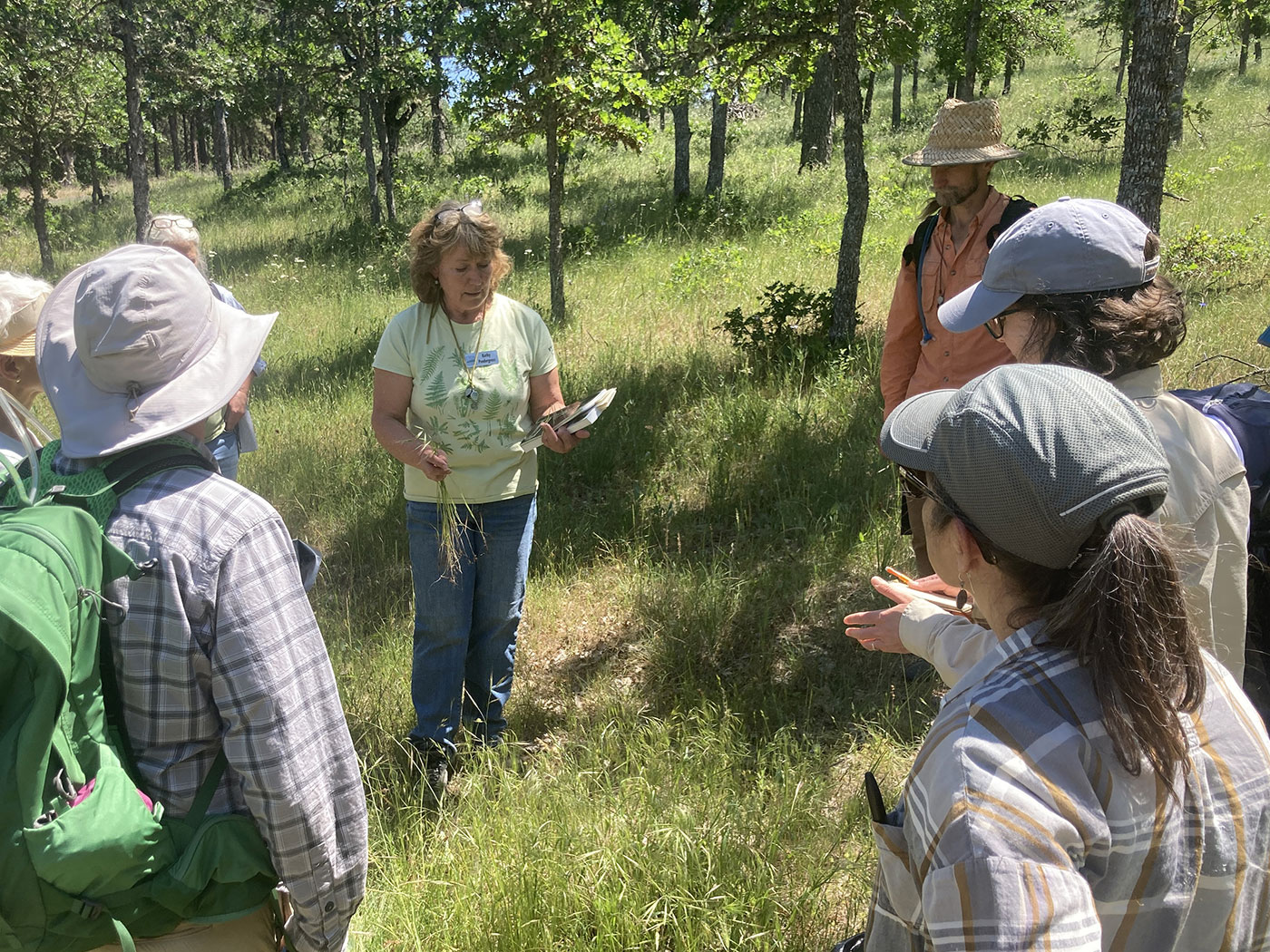
Many people in our community have dedicated their lives to understanding different aspects of oak systems from birds to plants, and soils to forage. You can find them at local tribal events hosted by Yakama Nation and Confederated Tribes of Warm Springs, in OSU Extension’s Oregon Naturalist classes, Washington Native Plant Society meetings, Washington Farm Forestry Association meetings, Mt. Adams Prescribed Burn Association meetings, participating in the Audubon Christmas bird count, attending Mt. Adams Institute’s Sense of Place lectures, and, of course, at ECOP meetings. Get out there and network!
Ready for Step 1.2?
Learn more about Ecological Site Descriptions and ECOP’s Condition Assessment Tool.


