Ecological Site Descriptions
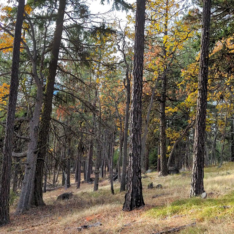
Credit: Doug Gorsline

OAK MANAGEMENT PATHWAY
This page is a tool that supports Step 1: Learn Your Site within the Oak Management Pathway.
Ecological Sites provide a framework for classifying and describing rangeland and forestland
Ecological Sites are developed by the Natural Resources Conservation Service (NRCS) to provide a consistent framework for classifying and describing rangeland and forestland, including soils and vegetation. Ecological Site Descriptions, or ESDs, are reports that provide detailed information about these distinct Ecological Sites and there are 11 describing different oak systems in the East Cascades. While slightly technical in nature, ESDs are a useful resource to help you learn more about your site and how it might respond to management or wildfire. ESDs can also help you decide what plant species would be appropriate to seed in a restoration project.
Learn more
Oregon White Oak ESD Key
ECOP partner, NRCS, developed a key for Oregon white oak systems in the East Cascades. The ESD key asks questions about annual precipitation, slope, aspect, soil texture, and soil depth. After going through the key, you will arrive at an estimated Ecological Site.
-
Watch the video
To help you get through the key, learn more about texturing soils in this video with Andy Neary, the NRCS ecologist who wrote the ESDs.
-
ECOP members continue to field test and refine this key. Please note: the ESD key is still being field tested and was primarily developed for Oregon sites. It will be further refined for use in Washington over time. We welcome your feedback on this key!
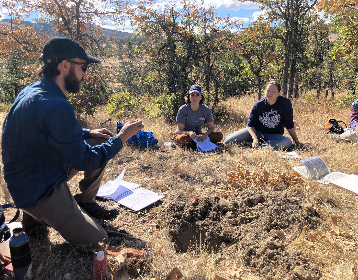
Common ecological sites describing East Cascades oaks
Loamy 14-20 PZ (R006XA300OR)
-
Extent:
Large; typically occurs east of the Hood River valley below 3,000 ft
-
Topography:
Broad summits, shoulders, plateaus, and gentle side slopes
-
Slope:
Gentle slopes, range from 2 – 20%, typically less than 15%
-
Elevation:
Typically ranges from 1,000 to 2,500 ft but may occur as low as 250 ft
-
Aspect:
This site occurs on all aspect
-
Mean annual precipitation:
14 – 20”
-
Soils:
Deep to very deep, productive soils with high water holding capacity
-
Reference plant community:
Oregon white oak and ponderosa pine are the dominant trees. Idaho fescue is the most common grass, followed by bluebunch wheatgrass, Sandberg bluegrass, and prairie junegrass. Flowering plants include arrowleaf balsamroot, common yarrow, pea, and lupine. Antelope bitterbrush is the most likely shrub species but may be scattered.
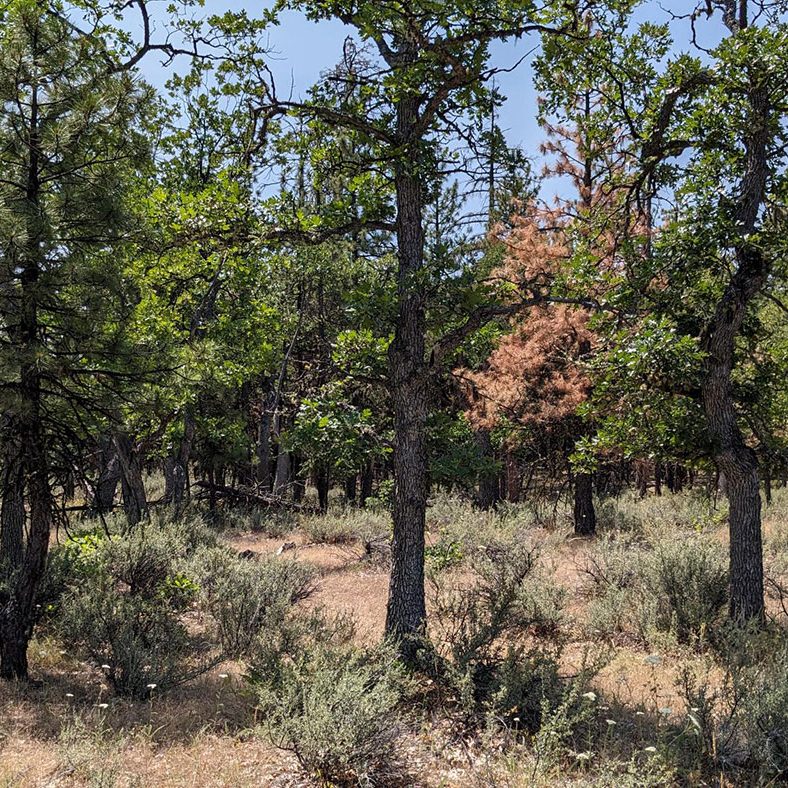
South Slopes 14-20 PZ (R006XA200OR)
-
Extent:
Large; occurs East of the Hood River valley below ~ 3,000 ft
-
Topography:
Hill and mountain side slopes
-
Slope:
Moderate to steep southerly slopes; typically greater than 15%
-
Elevation:
Typically ranges from 1,000 to 2,500 ft but may extend from 500 to 3,500 ft
-
Aspect:
South, southeasterly, or west facing exposures
-
Mean annual precipitation:
14 – 20”
-
Soils:
Variable but often droughty (low water holding capacity) with a cobbly soil surface and subsurface
-
Reference plant community:
Oregon white oak with minor ponderosa pine are the most common trees. Grasses include bluebunch wheatgrass and Sandberg’s bluegrass, with minor Idaho fescue. Common flowering plants are arrowleaf balsamroot and yarrow. Common shrubs include antelope bitterbrush, rubber rabbitbrush, and deerbrush.
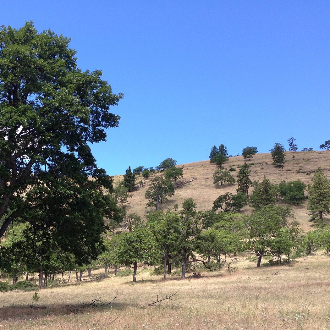
North Slopes 14-20 PZ (R006XA202OR)
-
Extent:
Moderate; occurs East of the Hood River valley below ~ 2,500 ft
-
Topography:
North facing backslopes
-
Slope:
Ranges from 30-70%
-
Elevation:
Typically ranges from 1,000-1,700 feet but may extend up to 3,000 feet
-
Aspect:
North, northwesterly, northeasterly, or east facing exposures
-
Mean annual precipitation:
14 – 20”
-
Soils:
Typically moderately deep and well drained; surface textures are often stony loam and subsoil textures are commonly loam or cobbly loam
-
Reference plant community:
Trees include Oregon white oak and occasional ponderosa pine. Grasses include Idaho fescue, bluebunch wheatgrass, and minor Sandberg bluegrass. Flowering plants include yarrow, pea, lupine, and Scouler’s woollyweed. Deerbrush and antelope bitterbrush are the most common shrubs.
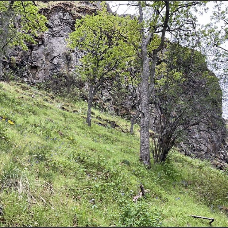
Loamy 20-40 PZ (R006XA304OR
-
Extent:
Moderate; occurs within the Columbia River Gorge and above 2,000 ft outside of the Gorge
-
Topography:
Broad ridgetops, shoulders, structural benches, mountain backslopes
-
Slope:
Variable slopes, ranges from 5-70%
-
Elevation:
Ranges from 1,200-3,000 feet
-
Aspect:
This site occurs on all aspects
-
Mean annual precipitation:
20-40” but may occur on northerly slopes below this precipitation zone
-
Soils:
Deep, productive soils with high water holding capacity; surface layer is a loam, silt loam, or cobbly loam
-
Reference plant community:
Likely trees include ponderosa pine and/or Douglas-fir, with variable Oregon white oak depending on conifer encroachment. Geyer’s sedge is often the most common graminoid but also Idaho fescue, blue wildrye, western fescue, and pinegrass. This site hosts a wide range of forbs including lupine, Scouler’s woollyweed, strawberry, pea, yarrow, big deervetch and others. Common snowberry and redstem ceanothus are the most common shrubs but Oregon grape and antelope bitterbrush may also occur.
There are 11 possible resulting ESDs. Find key and all ESDs here.
